Untangling Coastal Hydrological Stressors with Time Series Analysis
 Image credit: AGU
Abstract
The Delaware, Maryland, and Virginia (Delmarva) Peninsula is a hotspot for sea level rise and marsh migration, due to its low elevation, ongoing isostatic subsidence, and extensive fringing salt marshes. Sea level rise, intensifying coastal storms, and terrestrial processes (rainfall, drought) are cited as the primary drivers of coastal salinization, flooding, and marsh migration, but untangling their relative contributions requires long-term time series. Initial data observations reveal that groundwater levels are rising much faster than the rate of sea level rise. We leverage precipitation, evapotranspiration, and tidal data, alongside time series decomposition methods to evaluate the relative contribution of these drivers to groundwater levels. Using high-resolution, multi-zone, multi-depth time series data from six well-instrumented sites along the mid-Atlantic coast, we untangle these overlapping drivers across a range of temporal and spatial scales. These same stressors also pose risks to urban infrastructure in low-lying coastal settings. We extend this same analytical framework to the Dover Air Force Base to understand how these drivers affect stormwater infrastructure at critical military installations. Together, these results demonstrate how time series analysis and long observational data are essential for untangling overlapping hydrological stressors in vulnerable coastal settings.
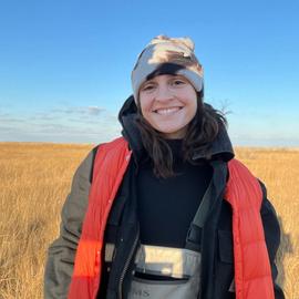
Dannielle Pratt
Postdoctoral Researcher

Austin K. Farnum
PhD Student

Omowumi Erukubami
PhD Candidate